| Philippines Photos |

| | COUNTRIES | Geographic.org | GEOLOGY | USA STATISTICS | CHINA STATS | COUNTRY CODES | AIRPORTS | RELIGION | JOBS | |
| |||
|
|||
|
| |||
| |||
|
| |||

Custom Search
OTHER ITA WEB SITES: - Human Anatomy - Health Topics - Drug Reference Encyclopedia - Genome Dictionary - HIV/AIDS Glossary - International Classification of diseases - Geology Dictionary - All About Diamonds - Energy Dictionary - USA Census Statistics - China Statistics - HTML Color Chart - Seaport Codes - Airport Codes |
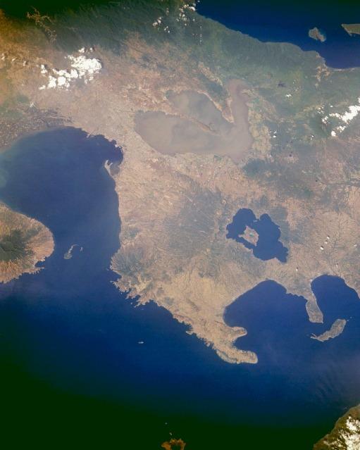
SOURCE: NASA.
NOTE: The information regarding Philippines on this page is re-published from the source noted below the photo. No claims are made regarding the accuracy of Philippines information contained here. All suggestions for corrections of any errors about Philippines should be addressed to the source noted below the photo.  - Please bookmark this page (add it to your favorites).
- If you wish to link to this page, you can do so by referring to the URL address below this line. https://theodora.com/wfb/photos/philippines/philippines_photos_132.html This page was last modified 29-NOV-13 Copyright © 1995-2013 ITA all rights reserved. |
|