


Location:
chain of islands in the North Atlantic Ocean, southeast of Florida, northeast of Cuba
Geographic coordinates:
24 15 N, 76 00 W
Map references:
Central America and the Caribbean
Area:
total: 13,880 sq km
[see also: Area - total country ranks ]
land: 10,010 sq km
[see also: Area - land country ranks ]
water: 3,870 sq km
[see also: Area - water country ranks ]
country comparison to the world (CIA rank, may be based on non-current data):
161
Area - comparative:
slightly smaller than Connecticut
Area comparison map:
slightly smaller than Connecticut
Land boundaries:
0 km
Coastline:
3,542 km
[see also: Coastline country ranks ]
Maritime claims:
territorial sea: 12
nm
[see also: Maritime claims - territorial sea country ranks ]
exclusive economic zone: 200
nm
[see also: Maritime claims - exclusive economic zone country ranks ]
Climate:
tropical marine; moderated by warm waters of Gulf Stream
More Climate Details
Terrain:
long, flat coral formations with some low rounded hills
Elevation:
lowest point:
Atlantic Ocean 0 m
highest point:
Mount Alvernia on Cat Island 64 m
Natural resources:
salt, aragonite, timber, arable land
Land use:
agricultural land: 1.4%
(2016 est.)
[see also: Land use - agricultural land country ranks ]
arable land: 0.8%
(2016 est.)
[see also: Land use - arable land country ranks ]
permanent crops: 0.4%
(2016 est.)
[see also: Land use - permanent crops country ranks ]
permanent pasture: 0.2%
(2016 est.)
[see also: Land use - permanent pasture country ranks ]
forest: 51.4%
(2016 est.)
[see also: Land use - forest country ranks ]
other: 47.2%
(2016 est.)
[see also: Land use country ranks ]
Irrigated land:
10 sq km
(2012)
[see also: Irrigated land country ranks ]
Population distribution:
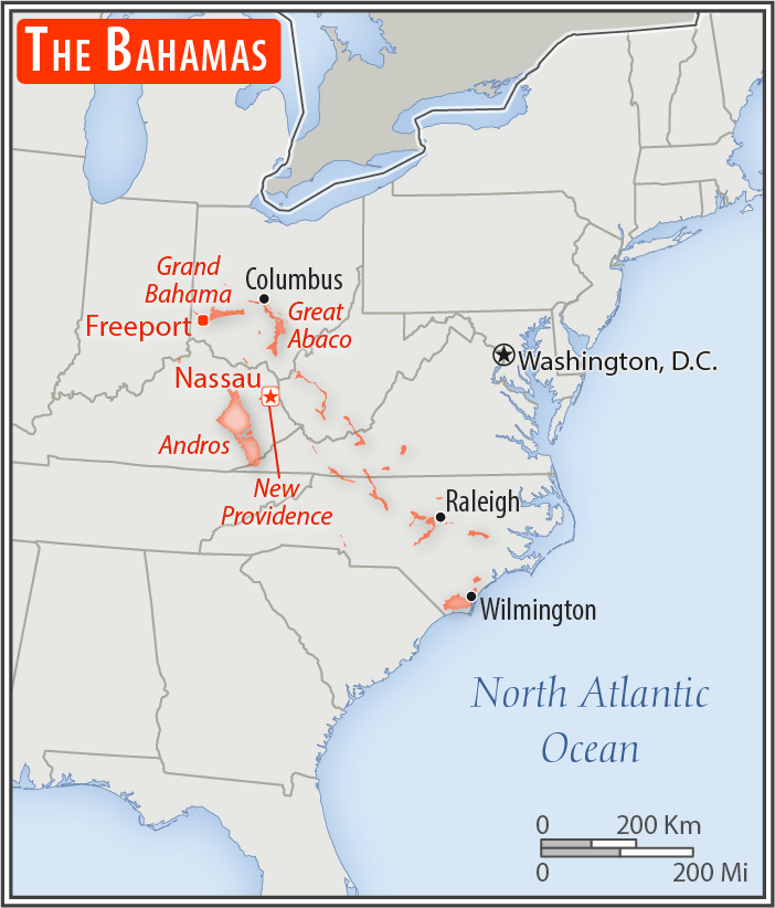
most of the population lives in urban areas, with two-thirds living on New Providence Island where Nassau is located
Natural hazards:
hurricanes and other tropical storms cause extensive flood and wind damage
Environment - current issues:
coral reef decay; solid waste disposal
Environment - international agreements:
party to:
Biodiversity, Climate Change, Climate Change-Kyoto Protocol, Desertification, Endangered Species, Hazardous Wastes, Law of the Sea, Ozone Layer Protection, Ship Pollution, Wetlands
signed, but not ratified:
none of the selected agreements
Geography - note:
strategic location adjacent to US and Cuba; extensive island chain of which 30 are inhabited
NOTE: 1) The information regarding Bahamas, The on this page is re-published from the 2020 World Fact Book of the United States Central Intelligence Agency and other sources. No claims are made regarding the accuracy of Bahamas, The Geography 2020 information contained here. All suggestions for corrections of any errors about Bahamas, The Geography 2020 should be addressed to the CIA or the source cited on each page.
2) The rank that you see is the CIA reported rank, which may have the following issues:
a) They assign increasing rank number, alphabetically for countries with the same value of the ranked item, whereas we assign them the same rank.
b) The CIA sometimes assigns counterintuitive ranks. For example, it assigns unemployment rates in increasing order, whereas we rank them in decreasing order.
- Main Index
- 2020 Index
- Country Ranks
- Definitions
- Bahamas, The Index 2020
- Bahamas, The Main Index
- Introduction
- History
- Geography
- Climate
- Maps
- People
- Religion
- Government
- Gov. Leaders
- Flags
- Economy
- Energy
- Communications
- Transportation
- Airport Codes
- Military
- Transnational Issues
- Photos
- Advertise Here
- Feedback

This page was last modified 27-Jan-20