


Location:
Middle East, archipelago in the Persian Gulf, east of Saudi Arabia
Geographic coordinates:
26 00 N, 50 33 E
Map references:
Middle East
Area:
total: 760 sq km
[see also: Area - total country ranks ]
land: 760 sq km
[see also: Area - land country ranks ]
water: 0 sq km
[see also: Area - water country ranks ]
country comparison to the world (CIA rank, may be based on non-current data):
188
Area - comparative:
3.5 times the size of Washington, DC
Area comparison map:
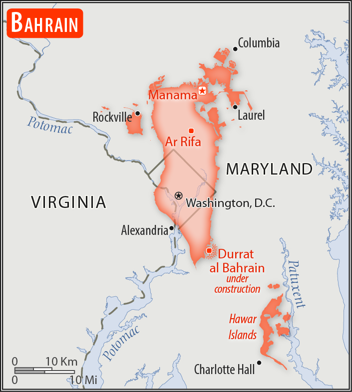
3.5 times the size of Washington, DC
Land boundaries:
0 km
Coastline:
161 km
[see also: Coastline country ranks ]
Maritime claims:
territorial sea: 12
nm
[see also: Maritime claims - territorial sea country ranks ]
contiguous zone: 24
nm
[see also: Maritime claims - contiguous zone country ranks ]
continental shelf:
extending to boundaries to be determined
[see also: Maritime claims - continental shelf country ranks ]
Climate:
arid; mild, pleasant winters; very hot, humid summers
More Climate Details
Terrain:
mostly low desert plain rising gently to low central escarpment
Elevation:
lowest point:
Persian Gulf 0 m
highest point:
Jabal ad Dukhan 135 m
Natural resources:
oil, associated and nonassociated natural gas, fish, pearls
Land use:
agricultural land: 11.3%
(2016 est.)
[see also: Land use - agricultural land country ranks ]
arable land: 2.1%
(2016 est.)
[see also: Land use - arable land country ranks ]
permanent crops: 3.9%
(2016 est.)
[see also: Land use - permanent crops country ranks ]
permanent pasture: 5.3%
(2016 est.)
[see also: Land use - permanent pasture country ranks ]
forest: 0.7%
(2016 est.)
[see also: Land use - forest country ranks ]
other: 88%
(2016 est.)
[see also: Land use country ranks ]
Irrigated land:
40 sq km
(2012)
[see also: Irrigated land country ranks ]
Population distribution:
smallest population of the Gulf States, but urbanization rate exceeds 90%; largest settlement concentration is found on the far northern end of the island in and around Manamah and Al Muharraq
Natural hazards:
periodic droughts; dust storms
Environment - current issues:
desertification resulting from the degradation of limited arable land, periods of drought, and dust storms; coastal degradation (damage to coastlines, coral reefs, and sea vegetation) resulting from oil spills and other discharges from large tankers, oil refineries, and distribution stations; lack of freshwater resources (groundwater and seawater are the only sources for all water needs); lowered water table leaves aquifers vulnerable to saline contamination; desalinization provides some 90% of the country's freshwater
Environment - international agreements:
party to:
Biodiversity, Climate Change, Climate Change-Kyoto Protocol, Desertification, Hazardous Wastes, Law of the Sea, Ozone Layer Protection, Wetlands
signed, but not ratified:
none of the selected agreements
Geography - note:
close to primary Middle Eastern petroleum sources; strategic location in Persian Gulf, through which much of the Western world's petroleum must transit to reach open ocean
NOTE: 1) The information regarding Bahrain on this page is re-published from the 2020 World Fact Book of the United States Central Intelligence Agency and other sources. No claims are made regarding the accuracy of Bahrain Geography 2020 information contained here. All suggestions for corrections of any errors about Bahrain Geography 2020 should be addressed to the CIA or the source cited on each page.
2) The rank that you see is the CIA reported rank, which may have the following issues:
a) They assign increasing rank number, alphabetically for countries with the same value of the ranked item, whereas we assign them the same rank.
b) The CIA sometimes assigns counterintuitive ranks. For example, it assigns unemployment rates in increasing order, whereas we rank them in decreasing order.
- Main Index
- 2020 Index
- Country Ranks
- Definitions
- Bahrain Index 2020
- Bahrain Main Index
- Introduction
- History
- Geography
- Climate
- Maps
- People
- Religion
- Government
- Gov. Leaders
- Flags
- Economy
- Energy
- Communications
- Transportation
- Airport Codes
- Military
- Terrorism
- Transnational Issues
- Photos
- Advertise Here
- Feedback

This page was last modified 27-Jan-20