


Location:
Southern Africa, between Mozambique and South Africa
Geographic coordinates:
26 30 S, 31 30 E
Map references:
Africa
Area:
total: 17,364 sq km
[see also: Area - total country ranks ]
land: 17,204 sq km
[see also: Area - land country ranks ]
water: 160 sq km
[see also: Area - water country ranks ]
country comparison to the world (CIA rank, may be based on non-current data):
159
Area - comparative:
slightly smaller than New Jersey
Area comparison map:
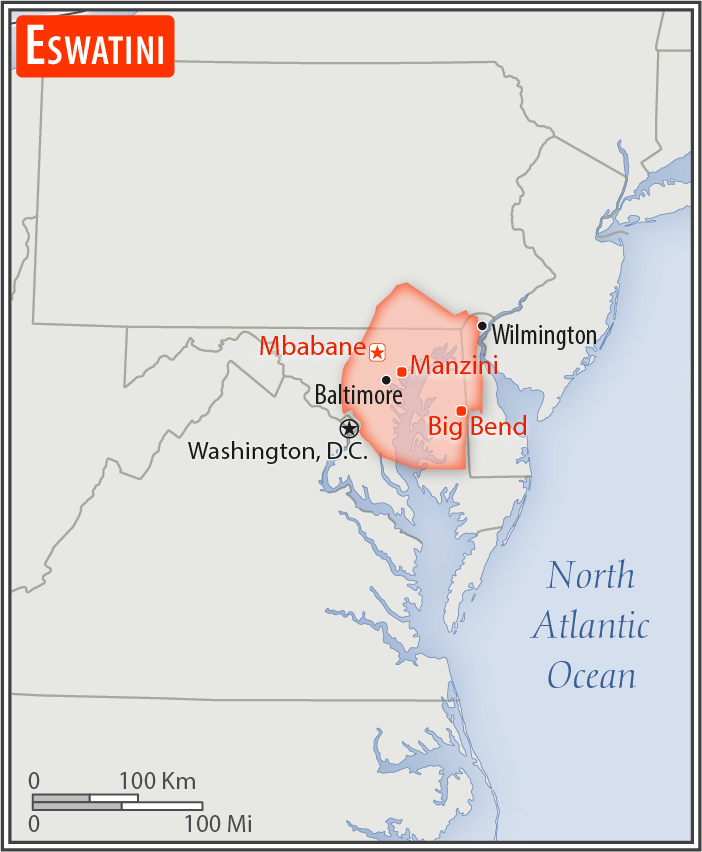
slightly smaller than New Jersey
Land boundaries:
total: 546 km
[see also: Land boundaries - total country ranks ]
border countries (2):
Mozambique 108 km, South Africa 438 km
Coastline:
0 km
(landlocked)
[see also: Coastline country ranks ]
Maritime claims:
none (landlocked)
Climate:
varies from tropical to near temperate
More Climate Details
Terrain:
mostly mountains and hills; some moderately sloping plains
Elevation:
mean elevation: 305 m
[see also: Elevation - mean elevation country ranks ]
lowest point:
Great Usutu River 21 m
highest point:
Emlembe 1,862 m
Natural resources:
asbestos, coal, clay, cassiterite, hydropower, forests, small gold and diamond deposits, quarry stone, and talc
Land use:
agricultural land: 68.3%
(2011 est.)
[see also: Land use - agricultural land country ranks ]
arable land: 9.8%
(2011 est.)
[see also: Land use - arable land country ranks ]
permanent crops: 0.8%
(2011 est.)
[see also: Land use - permanent crops country ranks ]
permanent pasture: 57.7%
(2011 est.)
[see also: Land use - permanent pasture country ranks ]
forest: 31.7%
(2011 est.)
[see also: Land use - forest country ranks ]
other: 0%
(2011 est.)
[see also: Land use country ranks ]
Irrigated land:
500 sq km
(2012)
[see also: Irrigated land country ranks ]
Population distribution:
because of its mountainous terrain, the population distribution is uneven throughout the country, concentrating primarily in valleys and plains
Natural hazards:
drought
Environment - current issues:
limited supplies of potable water; wildlife populations being depleted because of excessive hunting; population growth, deforestation, and overgrazing lead to soil erosion and soil degradation
Environment - international agreements:
party to:
Biodiversity, Climate Change, Climate Change-Kyoto Protocol, Desertification, Endangered Species, Hazardous Wastes, Ozone Layer Protection
signed, but not ratified:
Law of the Sea
Geography - note:
landlocked; almost completely surrounded by South Africa
NOTE: 1) The information regarding Eswatini on this page is re-published from the 2020 World Fact Book of the United States Central Intelligence Agency and other sources. No claims are made regarding the accuracy of Eswatini Geography 2020 information contained here. All suggestions for corrections of any errors about Eswatini Geography 2020 should be addressed to the CIA or the source cited on each page.
2) The rank that you see is the CIA reported rank, which may have the following issues:
a) They assign increasing rank number, alphabetically for countries with the same value of the ranked item, whereas we assign them the same rank.
b) The CIA sometimes assigns counterintuitive ranks. For example, it assigns unemployment rates in increasing order, whereas we rank them in decreasing order.
- Main Index
- 2020 Index
- Country Ranks
- Definitions
- Eswatini Index 2020
- Eswatini Main Index
- Introduction
- History
- Geography
- Climate
- Maps
- People
- Religion
- Government
- Gov. Leaders
- Flags
- Economy
- Energy
- Communications
- Transportation
- Airport Codes
- Military
- Transnational Issues
- Photos
- Advertise Here
- Feedback

This page was last modified 27-Jan-20