


Location:
Southern Africa, an enclave of South Africa
Geographic coordinates:
29 30 S, 28 30 E
Map references:
Africa
Area:
total: 30,355 sq km
[see also: Area - total country ranks ]
land: 30,355 sq km
[see also: Area - land country ranks ]
water: 0 sq km
[see also: Area - water country ranks ]
country comparison to the world (CIA rank, may be based on non-current data):
142
Area - comparative:
slightly smaller than Maryland
Area comparison map:
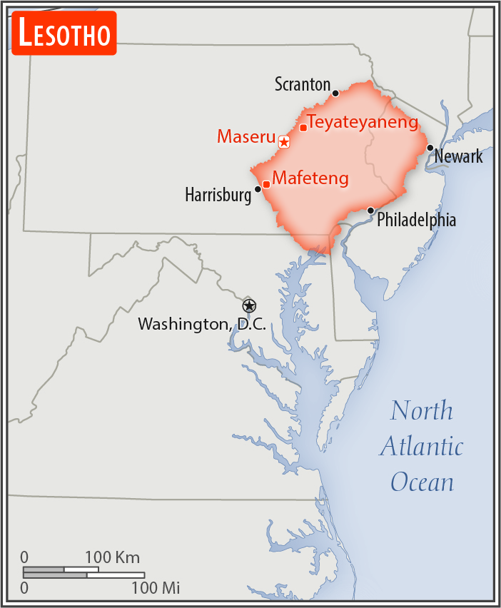
slightly smaller than Maryland
Land boundaries:
total: 1,106 km
[see also: Land boundaries - total country ranks ]
border countries (1):
South Africa 1106 km
Coastline:
0 km
(landlocked)
[see also: Coastline country ranks ]
Maritime claims:
none (landlocked)
Climate:
temperate; cool to cold, dry winters; hot, wet summers
Terrain:
mostly highland with plateaus, hills, and mountains
Elevation:
mean elevation: 2,161 m
[see also: Elevation - mean elevation country ranks ]
lowest point:
junction of the Orange and Makhaleng Rivers 1,400 m
highest point:
Thabana Ntlenyana 3,482 m
Natural resources:
water, agricultural and grazing land, diamonds, sand, clay, building stone
Land use:
agricultural land: 76.1%
(2011 est.)
[see also: Land use - agricultural land country ranks ]
arable land: 10.1%
(2011 est.)
[see also: Land use - arable land country ranks ]
permanent crops: 0.1%
(2011 est.)
[see also: Land use - permanent crops country ranks ]
permanent pasture: 65.9%
(2011 est.)
[see also: Land use - permanent pasture country ranks ]
forest: 1.5%
(2011 est.)
[see also: Land use - forest country ranks ]
other: 22.4%
(2011 est.)
[see also: Land use country ranks ]
Irrigated land:
30 sq km
(2012)
[see also: Irrigated land country ranks ]
Population distribution:
relatively higher population density in the western half of the nation, with the capital of Maseru, and the smaller cities of Mafeteng, Teyateyaneng, and Leribe attracting the most people
Natural hazards:
periodic droughts
Environment - current issues:
population pressure forcing settlement in marginal areas results in overgrazing, severe soil erosion, and soil exhaustion; desertification; Highlands Water Project controls, stores, and redirects water to South Africa
Environment - international agreements:
party to:
Biodiversity, Climate Change, Climate Change-Kyoto Protocol, Desertification, Endangered Species, Hazardous Wastes, Law of the Sea, Marine Life Conservation, Ozone Layer Protection, Wetlands
signed, but not ratified:
none of the selected agreements
Geography - note:
landlocked, an enclave of (completely surrounded by) South Africa; mountainous, more than 80% of the country is 1,800 m above sea level
NOTE: 1) The information regarding Lesotho on this page is re-published from the 2020 World Fact Book of the United States Central Intelligence Agency and other sources. No claims are made regarding the accuracy of Lesotho Geography 2020 information contained here. All suggestions for corrections of any errors about Lesotho Geography 2020 should be addressed to the CIA or the source cited on each page.
2) The rank that you see is the CIA reported rank, which may have the following issues:
a) They assign increasing rank number, alphabetically for countries with the same value of the ranked item, whereas we assign them the same rank.
b) The CIA sometimes assigns counterintuitive ranks. For example, it assigns unemployment rates in increasing order, whereas we rank them in decreasing order.
- Main Index
- 2020 Index
- Country Ranks
- Definitions
- Lesotho Index 2020
- Lesotho Main Index
- Introduction
- History
- Geography
- Maps
- People
- Religion
- Government
- Gov. Leaders
- Flags
- Economy
- Energy
- Communications
- Transportation
- Airport Codes
- Military
- Transnational Issues
- Photos
- Advertise Here
- Feedback

This page was last modified 27-Jan-20