


Location:
Southern Asia, group of atolls in the Indian Ocean, south-southwest of India
Geographic coordinates:
3 15 N, 73 00 E
Map references:
Asia
Area:
total: 298 sq km
[see also: Area - total country ranks ]
land: 298 sq km
[see also: Area - land country ranks ]
water: 0 sq km
[see also: Area - water country ranks ]
country comparison to the world (CIA rank, may be based on non-current data):
210
Area - comparative:
about 1.7 times the size of Washington, DC
Area comparison map:
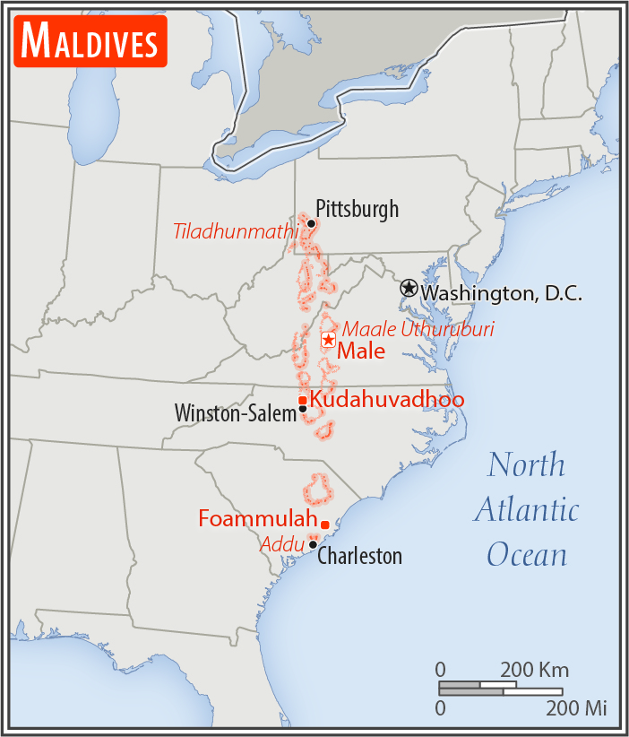
about 1.7 times the size of Washington, DC
Land boundaries:
0 km
Coastline:
644 km
[see also: Coastline country ranks ]
Maritime claims:
territorial sea: 12
nm
[see also: Maritime claims - territorial sea country ranks ]
exclusive economic zone: 200
nm
[see also: Maritime claims - exclusive economic zone country ranks ]
contiguous zone: 24
nm
measured from claimed archipelagic straight baselines
Climate:
tropical; hot, humid; dry, northeast monsoon (November to March); rainy, southwest monsoon (June to August)
More Climate Details
Terrain:
flat, with white sandy beaches
Elevation:
mean elevation: 2 m
[see also: Elevation - mean elevation country ranks ]
lowest point:
Indian Ocean 0 m
highest point:
8th tee, golf course, Villingi Island 5 m
Natural resources:
fish
Land use:
agricultural land: 23.3%
(2011 est.)
[see also: Land use - agricultural land country ranks ]
arable land: 10%
(2011 est.)
[see also: Land use - arable land country ranks ]
permanent crops: 10%
(2011 est.)
[see also: Land use - permanent crops country ranks ]
permanent pasture: 3.3%
(2011 est.)
[see also: Land use - permanent pasture country ranks ]
forest: 3%
(2011 est.)
[see also: Land use - forest country ranks ]
other: 73.7%
(2011 est.)
[see also: Land use country ranks ]
Irrigated land:
0 sq km
(2012)
[see also: Irrigated land country ranks ]
Population distribution:
about a third of the population lives in the centrally located capital city of Male and almost a tenth in southern Addu City; the remainder of the populace is spread over the 200 or so populated islands of the archipelago
Natural hazards:
tsunamis; low elevation of islands makes them sensitive to sea level rise
Environment - current issues:
depletion of freshwater aquifers threatens water supplies; inadequate sewage treatment; coral reef bleaching
Environment - international agreements:
party to:
Biodiversity, Climate Change, Climate Change-Kyoto Protocol, Desertification, Hazardous Wastes, Law of the Sea, Ozone Layer Protection, Ship Pollution
signed, but not ratified:
none of the selected agreements
Geography - note:
smallest Asian country; archipelago of 1,190 coral islands grouped into 26 atolls (200 inhabited islands, plus 80 islands with tourist resorts); strategic location astride and along major sea lanes in Indian Ocean
NOTE: 1) The information regarding Maldives on this page is re-published from the 2020 World Fact Book of the United States Central Intelligence Agency and other sources. No claims are made regarding the accuracy of Maldives Geography 2020 information contained here. All suggestions for corrections of any errors about Maldives Geography 2020 should be addressed to the CIA or the source cited on each page.
2) The rank that you see is the CIA reported rank, which may have the following issues:
a) They assign increasing rank number, alphabetically for countries with the same value of the ranked item, whereas we assign them the same rank.
b) The CIA sometimes assigns counterintuitive ranks. For example, it assigns unemployment rates in increasing order, whereas we rank them in decreasing order.
- Main Index
- 2020 Index
- Country Ranks
- Definitions
- Maldives Index 2020
- Maldives Main Index
- Introduction
- History
- Geography
- Climate
- Maps
- People
- Religion
- Government
- Gov. Leaders
- Flags
- Economy
- Energy
- Communications
- Transportation
- Airport Codes
- Military
- Transnational Issues
- Photos
- Advertise Here
- Feedback

This page was last modified 27-Jan-20