


Location:
Southern Africa, island in the Indian Ocean, about 800 km (500 mi) east of Madagascar
Geographic coordinates:
20 17 S, 57 33 E
Map references:
Africa
Area:
total: 2,040 sq km
[see also: Area - total country ranks ]
land: 2,030 sq km
[see also: Area - land country ranks ]
water: 10 sq km
note: includes Agalega Islands, Cargados Carajos Shoals (Saint Brandon), and Rodrigues
country comparison to the world (CIA rank, may be based on non-current data):
181
Area - comparative:
almost 11 times the size of Washington, DC
Area comparison map:
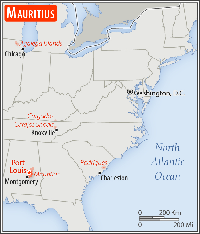
almost 11 times the size of Washington, DC
Land boundaries:
0 km
Coastline:
177 km
[see also: Coastline country ranks ]
Maritime claims:
territorial sea: 12
nm
[see also: Maritime claims - territorial sea country ranks ]
exclusive economic zone: 200
nm
[see also: Maritime claims - exclusive economic zone country ranks ]
continental shelf: 200
nm or to the edge of the continental margin
measured from claimed archipelagic straight baselines
Climate:
tropical, modified by southeast trade winds; warm, dry winter (May to November); hot, wet, humid summer (November to May)
More Climate Details
Terrain:
small coastal plain rising to discontinuous mountains encircling central plateau
Elevation:
lowest point:
Indian Ocean 0 m
highest point:
Mont Piton 828 m
Natural resources:
arable land, fish
Land use:
agricultural land: 43.8%
(2011 est.)
[see also: Land use - agricultural land country ranks ]
arable land: 38.4%
(2011 est.)
[see also: Land use - arable land country ranks ]
permanent crops: 2%
(2011 est.)
[see also: Land use - permanent crops country ranks ]
permanent pasture: 3.4%
(2011 est.)
[see also: Land use - permanent pasture country ranks ]
forest: 17.3%
(2011 est.)
[see also: Land use - forest country ranks ]
other: 38.9%
(2011 est.)
[see also: Land use country ranks ]
Irrigated land:
190 sq km
(2012)
[see also: Irrigated land country ranks ]
Population distribution:
population density is one of the highest in the world; urban cluster are found throught the main island, with a greater density in and around Port Luis; population on Rodrigues Island is spread across the island with a slightly denser cluster on the north coast
Natural hazards:
cyclones (November to April); almost completely surrounded by reefs that may pose maritime hazards
Environment - current issues:
water pollution, degradation of coral reefs; soil erosion; wildlife preservation; solid waste disposal
Environment - international agreements:
party to:
Antarctic-Marine Living Resources, Biodiversity, Climate Change, Climate Change-Kyoto Protocol, Desertification, Endangered Species, Environmental Modification, Hazardous Wastes, Law of the Sea, Marine Life Conservation, Ozone Layer Protection, Ship Pollution, Wetlands
signed, but not ratified:
none of the selected agreements
Geography - note:
the main island, from which the country derives its name, is of volcanic origin and is almost entirely surrounded by coral reefs; former home of the dodo, a large flightless bird related to pigeons, driven to extinction by the end of the 17th century through a combination of hunting and the introduction of predatory species
NOTE: 1) The information regarding Mauritius on this page is re-published from the 2020 World Fact Book of the United States Central Intelligence Agency and other sources. No claims are made regarding the accuracy of Mauritius Geography 2020 information contained here. All suggestions for corrections of any errors about Mauritius Geography 2020 should be addressed to the CIA or the source cited on each page.
2) The rank that you see is the CIA reported rank, which may have the following issues:
a) They assign increasing rank number, alphabetically for countries with the same value of the ranked item, whereas we assign them the same rank.
b) The CIA sometimes assigns counterintuitive ranks. For example, it assigns unemployment rates in increasing order, whereas we rank them in decreasing order.
- Main Index
- 2020 Index
- Country Ranks
- Definitions
- Mauritius Index 2020
- Mauritius Main Index
- Introduction
- History
- Geography
- Climate
- Maps
- People
- Religion
- Government
- Gov. Leaders
- Flags
- Economy
- Energy
- Communications
- Transportation
- Airport Codes
- Military
- Transnational Issues
- Photos
- Advertise Here
- Feedback

This page was last modified 27-Jan-20