


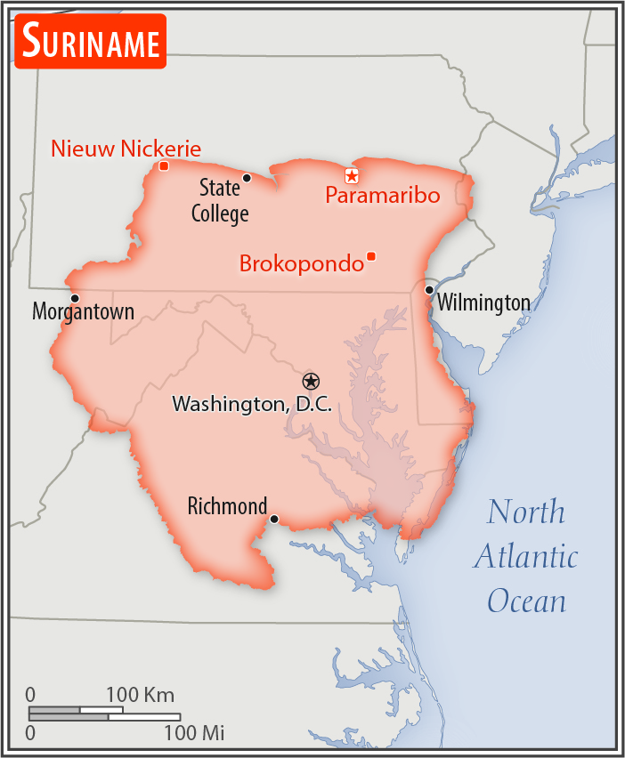
Location:
Northern South America, bordering the North Atlantic Ocean, between French Guiana and Guyana
Geographic coordinates:
4 00 N, 56 00 W
Map references:
South America
Area:
total: 163,820 sq km
[see also: Area - total country ranks ]
land: 156,000 sq km
[see also: Area - land country ranks ]
water: 7,820 sq km
[see also: Area - water country ranks ]
country comparison to the world (CIA rank, may be based on non-current data):
93
Area - comparative:
slightly larger than Georgia
Area comparison map:
slightly larger than Georgia
Land boundaries:
total: 1,907 km
[see also: Land boundaries - total country ranks ]
border countries (3):
Brazil 515 km, French Guiana 556 km, Guyana 836 km
Coastline:
386 km
[see also: Coastline country ranks ]
Maritime claims:
territorial sea: 12
nm
[see also: Maritime claims - territorial sea country ranks ]
exclusive economic zone: 200
nm
[see also: Maritime claims - exclusive economic zone country ranks ]
Climate:
tropical; moderated by trade winds
Terrain:
mostly rolling hills; narrow coastal plain with swamps
Elevation:
mean elevation: 246 m
[see also: Elevation - mean elevation country ranks ]
lowest point:
unnamed location in the coastal plain -2 m
highest point:
Juliana Top 1,230 m
Natural resources:
timber, hydropower, fish, kaolin, shrimp, bauxite, gold, and small amounts of nickel, copper, platinum, iron ore
Land use:
agricultural land: 0.5%
(2011 est.)
[see also: Land use - agricultural land country ranks ]
arable land: 0.4%
(2011 est.)
[see also: Land use - arable land country ranks ]
permanent crops: 0%
(2011 est.)
[see also: Land use - permanent crops country ranks ]
permanent pasture: 0.1%
(2011 est.)
[see also: Land use - permanent pasture country ranks ]
forest: 94.6%
(2011 est.)
[see also: Land use - forest country ranks ]
other: 4.9%
(2011 est.)
[see also: Land use country ranks ]
Irrigated land:
570 sq km
(2012)
[see also: Irrigated land country ranks ]
Population distribution:
population concentrated along the nothern coastal strip; the remainder of the country is sparsely populated
Natural hazards:
flooding
Environment - current issues:
deforestation as timber is cut for export; pollution of inland waterways by small-scale mining activities
Environment - international agreements:
party to:
Biodiversity, Climate Change, Climate Change-Kyoto Protocol, Desertification, Endangered Species, Hazardous Wastes, Law of the Sea, Marine Dumping, Ozone Layer Protection, Ship Pollution, Tropical Timber 94, Wetlands, Whaling
signed, but not ratified:
none of the selected agreements
Geography - note:
smallest independent country on South American continent; mostly tropical rain forest; great diversity of flora and fauna that, for the most part, is increasingly threatened by new development; relatively small population, mostly along the coast
NOTE: 1) The information regarding Suriname on this page is re-published from the 2020 World Fact Book of the United States Central Intelligence Agency and other sources. No claims are made regarding the accuracy of Suriname Geography 2020 information contained here. All suggestions for corrections of any errors about Suriname Geography 2020 should be addressed to the CIA or the source cited on each page.
2) The rank that you see is the CIA reported rank, which may have the following issues:
a) They assign increasing rank number, alphabetically for countries with the same value of the ranked item, whereas we assign them the same rank.
b) The CIA sometimes assigns counterintuitive ranks. For example, it assigns unemployment rates in increasing order, whereas we rank them in decreasing order.
- Main Index
- 2020 Index
- Country Ranks
- Definitions
- Suriname Index 2020
- Suriname Main Index
- Introduction
- History
- Geography
- Maps
- People
- Religion
- Government
- Gov. Leaders
- Flags
- Economy
- Energy
- Communications
- Transportation
- Airport Codes
- Military
- Transnational Issues
- Photos
- Advertise Here
- Feedback

This page was last modified 27-Jan-20