


Location:
Southern South America, bordering the South Atlantic Ocean, between Chile and Uruguay
Geographic coordinates:
34 00 S, 64 00 W
Map references:
South America
Area:
total: 2,780,400 sq km
[see also: Area - total country ranks ]
land: 2,736,690 sq km
[see also: Area - land country ranks ]
water: 43,710 sq km
[see also: Area - water country ranks ]
country comparison to the world (CIA rank, may be based on non-current data):
9
Area - comparative:
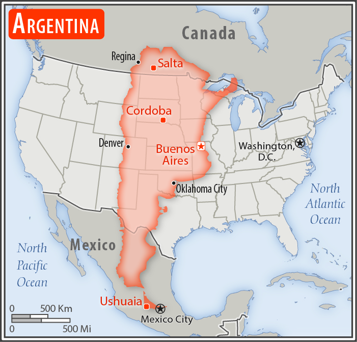
slightly less than three-tenths the size of the US
Area comparison map:
slightly less than three-tenths the size of the US
Land boundaries:
total: 11,968 km
[see also: Land boundaries - total country ranks ]
border countries (5):
Bolivia 942 km, Brazil 1263 km, Chile 6691 km, Paraguay 2531 km, Uruguay 541 km
Coastline:
4,989 km
[see also: Coastline country ranks ]
Maritime claims:
territorial sea: 12
nm
[see also: Maritime claims - territorial sea country ranks ]
exclusive economic zone: 200
nm
[see also: Maritime claims - exclusive economic zone country ranks ]
contiguous zone: 24
nm
[see also: Maritime claims - contiguous zone country ranks ]
continental shelf: 200
nm or to the edge of the continental margin
[see also: Maritime claims - continental shelf country ranks ]
Climate:
mostly temperate; arid in southeast; subantarctic in southwest
Terrain:
rich plains of the Pampas in northern half, flat to rolling plateau of Patagonia in south, rugged Andes along western border
Elevation:
mean elevation: 595 m
[see also: Elevation - mean elevation country ranks ]
lowest point:
Laguna del Carbon (located between Puerto San Julian and Comandante Luis Piedra Buena in the province of Santa Cruz) -105 m
highest point:
Cerro Aconcagua (located in the northwestern corner of the province of Mendoza; highest point in South America) 6,962 m
Natural resources:
fertile plains of the pampas, lead, zinc, tin, copper, iron ore, manganese, petroleum, uranium, arable land
Land use:
agricultural land: 53.9%
(2016 est.)
[see also: Land use - agricultural land country ranks ]
arable land: 13.9%
(2016 est.)
[see also: Land use - arable land country ranks ]
permanent crops: 0.4%
(2016 est.)
[see also: Land use - permanent crops country ranks ]
permanent pasture: 39.6%
(2016 est.)
[see also: Land use - permanent pasture country ranks ]
forest: 10.7%
(2016 est.)
[see also: Land use - forest country ranks ]
other: 35.4%
(2016 est.)
[see also: Land use country ranks ]
Irrigated land:
23,600 sq km
(2012)
[see also: Irrigated land country ranks ]
Population distribution:
one-third of the population lives in Buenos Aires; pockets of agglomeration occur throughout the northern and central parts of the country; Patagonia to the south remains sparsely populated
Natural hazards:
San Miguel de Tucuman and Mendoza areas in the Andes subject to earthquakes; pamperos are violent windstorms that can strike the pampas and northeast; heavy flooding in some areas
volcanism: volcanic activity in the Andes Mountains along the Chilean border; Copahue (2,997 m) last erupted in 2000; other historically active volcanoes include Llullaillaco, Maipo, Planchon-Peteroa, San Jose, Tromen, Tupungatito, and Viedma
Environment - current issues:
environmental problems (urban and rural) typical of an industrializing economy such as deforestation, soil degradation (erosion, salinization), desertification, air pollution, and water pollution
note: Argentina is a world leader in setting voluntary greenhouse gas targets
Environment - international agreements:
party to:
Antarctic-Environmental Protocol, Antarctic-Marine Living Resources, Antarctic Seals, Antarctic Treaty, Biodiversity, Climate Change, Climate Change-Kyoto Protocol, Desertification, Endangered Species, Environmental Modification, Hazardous Wastes, Law of the Sea, Marine Dumping, Ozone Layer Protection, Ship Pollution, Wetlands, Whaling
signed, but not ratified:
Marine Life Conservation
Geography - note:
second-largest country in South America (after Brazil); strategic location relative to sea lanes between the South Atlantic and the South Pacific Oceans (Strait of Magellan, Beagle Channel, Drake Passage); diverse geophysical landscapes range from tropical climates in the north to tundra in the far south; Cerro Aconcagua is the Western Hemisphere's tallest mountain, while Laguna del Carbon is the lowest point in the Western Hemisphere; shares Iguazu Falls, the world's largest waterfalls system, with Brazil
NOTE: 1) The information regarding Argentina on this page is re-published from the 2020 World Fact Book of the United States Central Intelligence Agency and other sources. No claims are made regarding the accuracy of Argentina Geography 2020 information contained here. All suggestions for corrections of any errors about Argentina Geography 2020 should be addressed to the CIA or the source cited on each page.
2) The rank that you see is the CIA reported rank, which may have the following issues:
a) They assign increasing rank number, alphabetically for countries with the same value of the ranked item, whereas we assign them the same rank.
b) The CIA sometimes assigns counterintuitive ranks. For example, it assigns unemployment rates in increasing order, whereas we rank them in decreasing order.
- Main Index
- 2020 Index
- Country Ranks
- Definitions
- Argentina Index 2020
- Argentina Main Index
- Introduction
- History
- Geography
- Maps
- People
- Religion
- Government
- Gov. Leaders
- Flags
- Economy
- Energy
- Communications
- Transportation
- Airport Codes
- Military
- Terrorism
- Transnational Issues
- Photos
- Advertise Here
- Feedback

This page was last modified 27-Jan-20