


Location:
Southern Asia, between China and India
Geographic coordinates:
27 30 N, 90 30 E
Map references:
Asia
Area:
total: 38,394 sq km
[see also: Area - total country ranks ]
land: 38,394 sq km
[see also: Area - land country ranks ]
water: 0 sq km
[see also: Area - water country ranks ]
country comparison to the world (CIA rank, may be based on non-current data):
137
Area - comparative:
slightly larger than Maryland; about one-half the size of Indiana
Area comparison map:
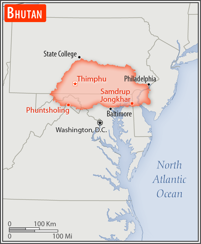
slightly larger than Maryland; about one-half the size of Indiana
Land boundaries:
total: 1,136 km
[see also: Land boundaries - total country ranks ]
border countries (2):
China 477 km, India 659 km
Coastline:
0 km
(landlocked)
[see also: Coastline country ranks ]
Maritime claims:
none (landlocked)
Climate:
varies; tropical in southern plains; cool winters and hot summers in central valleys; severe winters and cool summers in Himalayas
More Climate Details
Terrain:
mostly mountainous with some fertile valleys and savanna
Elevation:
mean elevation: 2,220 m
[see also: Elevation - mean elevation country ranks ]
lowest point:
Drangeme Chhu 97 m
highest point:
Gangkar Puensum 7,570 m
Natural resources:
timber, hydropower, gypsum, calcium carbonate
Land use:
agricultural land: 13.6%
(2011 est.)
[see also: Land use - agricultural land country ranks ]
arable land: 2.6%
(2011 est.)
[see also: Land use - arable land country ranks ]
permanent crops: 0.3%
(2011 est.)
[see also: Land use - permanent crops country ranks ]
permanent pasture: 10.7%
(2011 est.)
[see also: Land use - permanent pasture country ranks ]
forest: 85.5%
(2011 est.)
[see also: Land use - forest country ranks ]
other: 0.9%
(2011 est.)
[see also: Land use country ranks ]
Irrigated land:
320 sq km
(2012)
[see also: Irrigated land country ranks ]
Natural hazards:
violent storms from the Himalayas are the source of the country's Bhutanese name, which translates as Land of the Thunder Dragon; frequent landslides during the rainy season
Environment - current issues:
soil erosion; limited access to potable water; wildlife conservation; industrial pollution; waste disposal
Environment - international agreements:
party to:
Biodiversity, Climate Change, Climate Change-Kyoto Protocol, Desertification, Endangered Species, Hazardous Wastes, Ozone Layer Protection
signed, but not ratified:
Law of the Sea
Geography - note:
landlocked; strategic location between China and India; controls several key Himalayan mountain passes
NOTE: 1) The information regarding Bhutan on this page is re-published from the 2020 World Fact Book of the United States Central Intelligence Agency and other sources. No claims are made regarding the accuracy of Bhutan Geography 2020 information contained here. All suggestions for corrections of any errors about Bhutan Geography 2020 should be addressed to the CIA or the source cited on each page.
2) The rank that you see is the CIA reported rank, which may have the following issues:
a) They assign increasing rank number, alphabetically for countries with the same value of the ranked item, whereas we assign them the same rank.
b) The CIA sometimes assigns counterintuitive ranks. For example, it assigns unemployment rates in increasing order, whereas we rank them in decreasing order.
- Main Index
- 2020 Index
- Country Ranks
- Definitions
- Bhutan Index 2020
- Bhutan Main Index
- Introduction
- History
- Geography
- Climate
- Maps
- People
- Religion
- Government
- Gov. Leaders
- Flags
- Economy
- Energy
- Communications
- Transportation
- Airport Codes
- Military
- Transnational Issues
- Photos
- Advertise Here
- Feedback

This page was last modified 27-Jan-20