


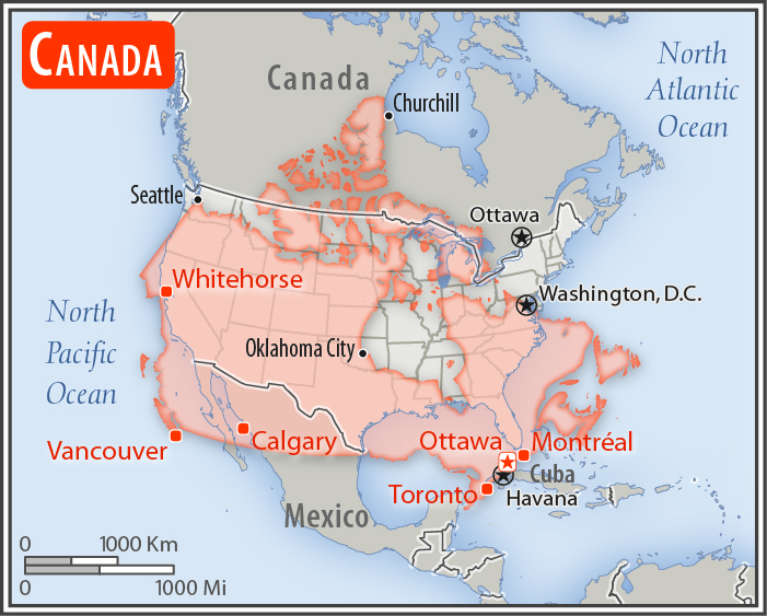
Location:
Northern North America, bordering the North Atlantic Ocean on the east, North Pacific Ocean on the west, and the Arctic Ocean on the north, north of the conterminous US
Geographic coordinates:
60 00 N, 95 00 W
Map references:
North America
Area:
total: 9,984,670 sq km
[see also: Area - total country ranks ]
land: 9,093,507 sq km
[see also: Area - land country ranks ]
water: 891,163 sq km
[see also: Area - water country ranks ]
country comparison to the world (CIA rank, may be based on non-current data):
3
Area - comparative:
slightly larger than the US
Area comparison map:
slightly larger than the US
Land boundaries:
total: 8,893 km
[see also: Land boundaries - total country ranks ]
border countries (1):
US 8893 km (includes 2477 km with Alaska)
note: Canada is the world's largest country that borders only one country
Coastline:
202,080 km
note: the Canadian Arctic Archipelago - consisting of 36,563 islands, several of them some of the world's largest - contributes to Canada easily having the longest coastline in the world
[see also: Coastline country ranks ]
Maritime claims:
territorial sea: 12
nm
[see also: Maritime claims - territorial sea country ranks ]
exclusive economic zone: 200
nm
[see also: Maritime claims - exclusive economic zone country ranks ]
contiguous zone: 24
nm
[see also: Maritime claims - contiguous zone country ranks ]
continental shelf: 200
nm or to the edge of the continental margin
[see also: Maritime claims - continental shelf country ranks ]
Climate:
varies from temperate in south to subarctic and arctic in north
More Climate Details
Terrain:
mostly plains with mountains in west, lowlands in southeast
Elevation:
mean elevation: 487 m
[see also: Elevation - mean elevation country ranks ]
lowest point:
Atlantic Ocean 0 m
highest point:
Mount Logan 5,959 m
Natural resources:
bauxite, iron ore, nickel, zinc, copper, gold, lead, rare earth elements, molybdenum, potash, diamonds, silver, fish, timber, wildlife, coal, petroleum, natural gas, hydropower
Land use:
agricultural land: 6.8%
(2011 est.)
[see also: Land use - agricultural land country ranks ]
arable land: 4.7%
(2011 est.)
[see also: Land use - arable land country ranks ]
permanent crops: 0.5%
(2011 est.)
[see also: Land use - permanent crops country ranks ]
permanent pasture: 1.6%
(2011 est.)
[see also: Land use - permanent pasture country ranks ]
forest: 34.1%
(2011 est.)
[see also: Land use - forest country ranks ]
other: 59.1%
(2011 est.)
[see also: Land use country ranks ]
Irrigated land:
8,700 sq km
(2012)
[see also: Irrigated land country ranks ]
Population distribution:
vast majority of Canadians are positioned in a discontinuous band within approximately 300 km of the southern border with the United States; the most populated province is Ontario, followed by Quebec and British Columbia
Natural hazards:
continuous permafrost in north is a serious obstacle to development; cyclonic storms form east of the Rocky Mountains, a result of the mixing of air masses from the Arctic, Pacific, and North American interior, and produce most of the country's rain and snow east of the mountains
volcanism: the vast majority of volcanoes in Western Canada's Coast Mountains remain dormant
Environment - current issues:
metal smelting, coal-burning utilities, and vehicle emissions impacting agricultural and forest productivity; air pollution and resulting acid rain severely affecting lakes and damaging forests; ocean waters becoming contaminated due to agricultural, industrial, mining, and forestry activities
Environment - international agreements:
party to:
Air Pollution, Air Pollution-Nitrogen Oxides, Air Pollution-Persistent Organic Pollutants, Air Pollution-Sulfur 85, Air Pollution-Sulfur 94, Antarctic-Environmental Protocol, Antarctic-Marine Living Resources, Antarctic Seals, Antarctic Treaty, Biodiversity, Climate Change, Desertification, Endangered Species, Environmental Modification, Hazardous Wastes, Law of the Sea, Marine Dumping, Ozone Layer Protection, Ship Pollution, Tropical Timber 83, Tropical Timber 94, Wetlands
signed, but not ratified:
Air Pollution-Volatile Organic Compounds, Marine Life Conservation
note 1: second-largest country in world (after Russia) and largest in the Americas; strategic location between Russia and US via north polar route; approximately 90% of the population is concentrated within 160 km (100 mi) of the US border
note 2: Canada has more fresh water than any other country and almost 9% of Canadian territory is water; Canada has at least 2 million and possibly over 3 million lakes - that is more than all other countries combined
NOTE: 1) The information regarding Canada on this page is re-published from the 2020 World Fact Book of the United States Central Intelligence Agency and other sources. No claims are made regarding the accuracy of Canada Geography 2020 information contained here. All suggestions for corrections of any errors about Canada Geography 2020 should be addressed to the CIA or the source cited on each page.
2) The rank that you see is the CIA reported rank, which may have the following issues:
a) They assign increasing rank number, alphabetically for countries with the same value of the ranked item, whereas we assign them the same rank.
b) The CIA sometimes assigns counterintuitive ranks. For example, it assigns unemployment rates in increasing order, whereas we rank them in decreasing order.
- Main Index
- 2020 Index
- Country Ranks
- Definitions
- Canada Index 2020
- Canada Main Index
- Introduction
- History
- Geography
- Climate
- Maps
- People
- Religion
- Government
- Gov. Leaders
- Flags
- Economy
- Energy
- Communications
- Transportation
- Airport Codes
- Military
- Transnational Issues
- Photos
- Advertise Here
- Feedback

This page was last modified 27-Jan-20