


Location:
Southern South America, bordering the South Pacific Ocean, between Argentina and Peru
Geographic coordinates:
30 00 S, 71 00 W
Map references:
South America
Area:
total: 756,102 sq km
[see also: Area - total country ranks ]
land: 743,812 sq km
[see also: Area - land country ranks ]
water: 12,290 sq km
note: includes Easter Island (Isla de Pascua) and Isla Sala y Gomez
country comparison to the world (CIA rank, may be based on non-current data):
39
Area - comparative:
slightly smaller than twice the size of Montana
Area comparison map:
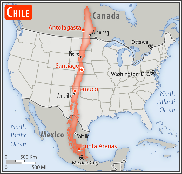
slightly smaller than twice the size of Montana
Land boundaries:
total: 7,801 km
[see also: Land boundaries - total country ranks ]
border countries (3):
Argentina 6691 km, Bolivia 942 km, Peru 168 km
Coastline:
6,435 km
[see also: Coastline country ranks ]
Maritime claims:
territorial sea: 12
nm
[see also: Maritime claims - territorial sea country ranks ]
exclusive economic zone: 200
nm
[see also: Maritime claims - exclusive economic zone country ranks ]
contiguous zone: 24
nm
[see also: Maritime claims - contiguous zone country ranks ]
continental shelf:
200/350 nm
[see also: Maritime claims - continental shelf country ranks ]
Climate:
temperate; desert in north; Mediterranean in central region; cool and damp in south
More Climate Details
Terrain:
low coastal mountains, fertile central valley, rugged Andes in east
Elevation:
mean elevation: 1,871 m
[see also: Elevation - mean elevation country ranks ]
lowest point:
Pacific Ocean 0 m
highest point:
Nevado Ojos del Salado 6,880 m
Natural resources:
copper, timber, iron ore, nitrates, precious metals, molybdenum, hydropower
Land use:
agricultural land: 21.1%
(2011 est.)
[see also: Land use - agricultural land country ranks ]
arable land: 1.7%
(2011 est.)
[see also: Land use - arable land country ranks ]
permanent crops: 0.6%
(2011 est.)
[see also: Land use - permanent crops country ranks ]
permanent pasture: 18.8%
(2011 est.)
[see also: Land use - permanent pasture country ranks ]
forest: 21.9%
(2011 est.)
[see also: Land use - forest country ranks ]
other: 57%
(2011 est.)
[see also: Land use country ranks ]
Irrigated land:
11,100 sq km
(2012)
[see also: Irrigated land country ranks ]
Population distribution:
90% of the population is located in the middle third of the country around the capital of Santiago; the far north (anchored by the Atacama Desert) and the extreme south are relatively underpopulated
Natural hazards:
severe earthquakes; active volcanism; tsunamis
volcanism: significant volcanic activity due to more than three-dozen active volcanoes along the Andes Mountains; Lascar (5,592 m), which last erupted in 2007, is the most active volcano in the northern Chilean Andes; Llaima (3,125 m) in central Chile, which last erupted in 2009, is another of the country's most active; Chaiten's 2008 eruption forced major evacuations; other notable historically active volcanoes include Cerro Hudson, Calbuco, Copahue, Guallatiri, Llullaillaco, Nevados de Chillan, Puyehue, San Pedro, and Villarrica; see note 2 under "Geography - note"
Environment - current issues:
air pollution from industrial and vehicle emissions; water pollution from raw sewage; noise pollution; improper garbage disposal; soil degradation; widespread deforestation and mining threaten the environment; wildlife conservation
Environment - international agreements:
party to:
Antarctic-Environmental Protocol, Antarctic-Marine Living Resources, Antarctic Seals, Antarctic Treaty, Biodiversity, Climate Change, Climate Change-Kyoto Protocol, Desertification, Endangered Species, Environmental Modification, Hazardous Wastes, Law of the Sea, Marine Dumping, Ozone Layer Protection, Ship Pollution, Wetlands, Whaling
signed, but not ratified:
none of the selected agreements
note 1: the longest north-south trending country in the world, extending across 39 degrees of latitude; strategic location relative to sea lanes between the Atlantic and Pacific Oceans (Strait of Magellan, Beagle Channel, Drake Passage)
note 2: Chile is one of the countries along the Ring of Fire, a belt of active volcanoes and earthquake epicenters bordering the Pacific Ocean; up to 90% of the world's earthquakes and some 75% of the world's volcanoes occur within the Ring of Fire
note 3: the Atacama Desert - the driest desert in the world - spreads across the northern part of the country; Ojos del Salado (6,893 m) in the Atacama Desert is the highest active volcano in the world, Chile's tallest mountain, and the second highest in the Western Hemisphere and the Southern Hemisphere - its small crater lake (at 6,390 m) is the world's highest lake
NOTE: 1) The information regarding Chile on this page is re-published from the 2020 World Fact Book of the United States Central Intelligence Agency and other sources. No claims are made regarding the accuracy of Chile Geography 2020 information contained here. All suggestions for corrections of any errors about Chile Geography 2020 should be addressed to the CIA or the source cited on each page.
2) The rank that you see is the CIA reported rank, which may have the following issues:
a) They assign increasing rank number, alphabetically for countries with the same value of the ranked item, whereas we assign them the same rank.
b) The CIA sometimes assigns counterintuitive ranks. For example, it assigns unemployment rates in increasing order, whereas we rank them in decreasing order.
- Main Index
- 2020 Index
- Country Ranks
- Definitions
- Chile Index 2020
- Chile Main Index
- Introduction
- History
- Geography
- Climate
- Maps
- People
- Religion
- Government
- Gov. Leaders
- Flags
- Economy
- Energy
- Communications
- Transportation
- Airport Codes
- Military
- Transnational Issues
- Photos
- Advertise Here
- Feedback

This page was last modified 27-Jan-20