


Location:
Eastern Africa, bordering the Gulf of Aden and the Red Sea, between Eritrea and Somalia
Geographic coordinates:
11 30 N, 43 00 E
Map references:
Africa
Area:
total: 23,200 sq km
[see also: Area - total country ranks ]
land: 23,180 sq km
[see also: Area - land country ranks ]
water: 20 sq km
[see also: Area - water country ranks ]
country comparison to the world (CIA rank, may be based on non-current data):
151
Area - comparative:
slightly smaller than New Jersey
Area comparison map:
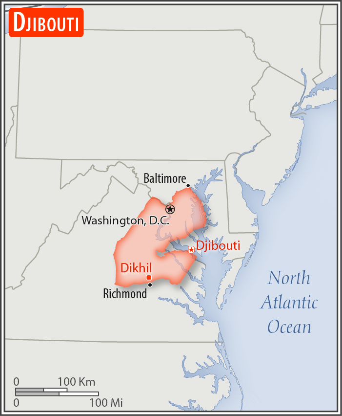
slightly smaller than New Jersey
Land boundaries:
total: 528 km
[see also: Land boundaries - total country ranks ]
border countries (3):
Eritrea 125 km, Ethiopia 342 km, Somalia 61 km
Coastline:
314 km
[see also: Coastline country ranks ]
Maritime claims:
territorial sea: 12
nm
[see also: Maritime claims - territorial sea country ranks ]
exclusive economic zone: 200
nm
[see also: Maritime claims - exclusive economic zone country ranks ]
contiguous zone: 24
nm
[see also: Maritime claims - contiguous zone country ranks ]
Climate:
desert; torrid, dry
More Climate Details
Terrain:
coastal plain and plateau separated by central mountains
Elevation:
mean elevation: 430 m
[see also: Elevation - mean elevation country ranks ]
lowest point:
Lac Assal -155 m
highest point:
Moussa Ali 2,021 m
Natural resources:
potential geothermal power, gold, clay, granite, limestone, marble, salt, diatomite, gypsum, pumice, petroleum
Land use:
agricultural land: 73.4%
(2011 est.)
[see also: Land use - agricultural land country ranks ]
arable land: 0.1%
(2011 est.)
[see also: Land use - arable land country ranks ]
permanent crops: 0%
(2011 est.)
[see also: Land use - permanent crops country ranks ]
permanent pasture: 73.3%
(2011 est.)
[see also: Land use - permanent pasture country ranks ]
forest: 0.2%
(2011 est.)
[see also: Land use - forest country ranks ]
other: 26.4%
(2011 est.)
[see also: Land use country ranks ]
Irrigated land:
10 sq km
(2012)
[see also: Irrigated land country ranks ]
Population distribution:
most densely populated areas are in the east; the largest city is Djibouti, with a population over 600,000; no other city in the country has a total population over 50,000
Natural hazards:
earthquakes; droughts; occasional cyclonic disturbances from the Indian Ocean bring heavy rains and flash floods
volcanism: experiences limited volcanic activity; Ardoukoba (298 m) last erupted in 1978; Manda-Inakir, located along the Ethiopian border, is also historically active
Environment - current issues:
inadequate supplies of potable water; water pollution; limited arable land; deforestation (forests threatened by agriculture and the use of wood for fuel); desertification; endangered species
Environment - international agreements:
party to:
Biodiversity, Climate Change, Climate Change-Kyoto Protocol, Desertification, Endangered Species, Hazardous Wastes, Law of the Sea, Ozone Layer Protection, Ship Pollution, Wetlands
signed, but not ratified:
none of the selected agreements
Geography - note:
strategic location near world's busiest shipping lanes and close to Arabian oilfields; terminus of rail traffic into Ethiopia; mostly wasteland; Lac Assal (Lake Assal) is the lowest point in Africa and the saltiest lake in the world
NOTE: 1) The information regarding Djibouti on this page is re-published from the 2020 World Fact Book of the United States Central Intelligence Agency and other sources. No claims are made regarding the accuracy of Djibouti Geography 2020 information contained here. All suggestions for corrections of any errors about Djibouti Geography 2020 should be addressed to the CIA or the source cited on each page.
2) The rank that you see is the CIA reported rank, which may have the following issues:
a) They assign increasing rank number, alphabetically for countries with the same value of the ranked item, whereas we assign them the same rank.
b) The CIA sometimes assigns counterintuitive ranks. For example, it assigns unemployment rates in increasing order, whereas we rank them in decreasing order.
- Main Index
- 2020 Index
- Country Ranks
- Definitions
- Djibouti Index 2020
- Djibouti Main Index
- Introduction
- History
- Geography
- Climate
- Maps
- People
- Religion
- Government
- Gov. Leaders
- Flags
- Economy
- Energy
- Communications
- Transportation
- Airport Codes
- Military
- Terrorism
- Transnational Issues
- Photos
- Advertise Here
- Feedback

This page was last modified 27-Jan-20