


Location:
Western Africa, bordering the North Atlantic Ocean, between Guinea-Bissau and Sierra Leone
Geographic coordinates:
11 00 N, 10 00 W
Map references:
Africa
Area:
total: 245,857 sq km
[see also: Area - total country ranks ]
land: 245,717 sq km
[see also: Area - land country ranks ]
water: 140 sq km
[see also: Area - water country ranks ]
country comparison to the world (CIA rank, may be based on non-current data):
80
Area - comparative:
slightly smaller than Oregon; slightly larger than twice the size of Pennsylvania
Area comparison map:
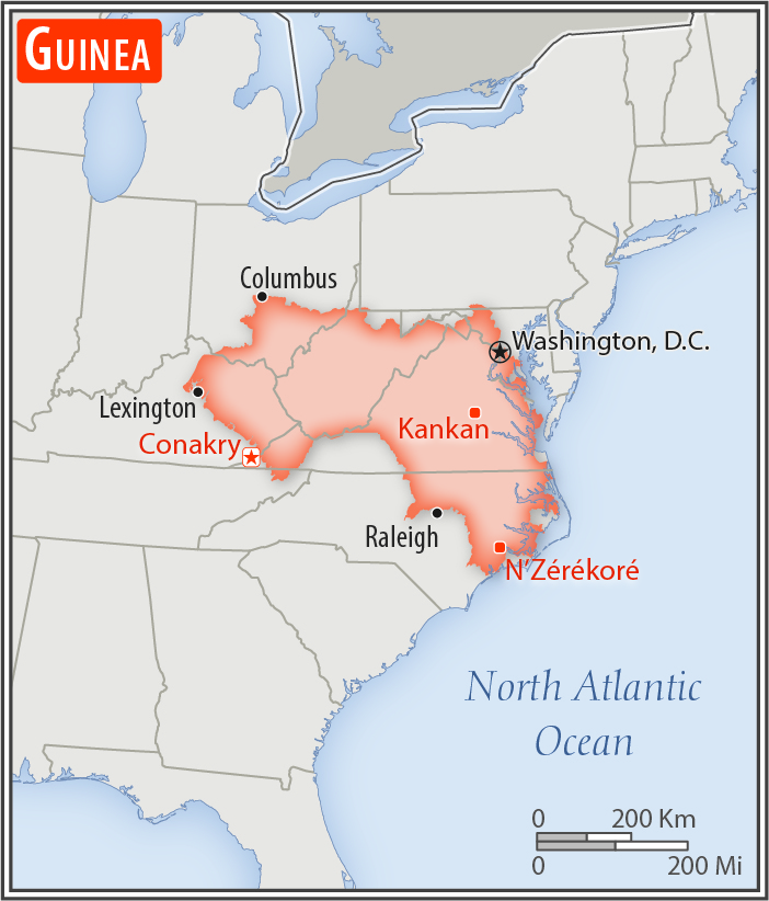
slightly smaller than Oregon; slightly larger than twice the size of Pennsylvania
Land boundaries:
total: 4,046 km
[see also: Land boundaries - total country ranks ]
border countries (6):
Cote d'Ivoire 816 km, Guinea-Bissau 421 km, Liberia 590 km, Mali 1062 km, Senegal 363 km, Sierra Leone 794 km
Coastline:
320 km
[see also: Coastline country ranks ]
Maritime claims:
territorial sea: 12
nm
[see also: Maritime claims - territorial sea country ranks ]
exclusive economic zone: 200
nm
[see also: Maritime claims - exclusive economic zone country ranks ]
Climate:
generally hot and humid; monsoonal-type rainy season (June to November) with southwesterly winds; dry season (December to May) with northeasterly harmattan winds
Terrain:
generally flat coastal plain, hilly to mountainous interior
Elevation:
mean elevation: 472 m
[see also: Elevation - mean elevation country ranks ]
lowest point:
Atlantic Ocean 0 m
highest point:
Mont Nimba 1,752 m
Natural resources:
bauxite, iron ore, diamonds, gold, uranium, hydropower, fish, salt
Land use:
agricultural land: 58.1%
(2011 est.)
[see also: Land use - agricultural land country ranks ]
arable land: 11.8%
(2011 est.)
[see also: Land use - arable land country ranks ]
permanent crops: 2.8%
(2011 est.)
[see also: Land use - permanent crops country ranks ]
permanent pasture: 43.5%
(2011 est.)
[see also: Land use - permanent pasture country ranks ]
forest: 26.5%
(2011 est.)
[see also: Land use - forest country ranks ]
other: 15.4%
(2011 est.)
[see also: Land use country ranks ]
Irrigated land:
950 sq km
(2012)
[see also: Irrigated land country ranks ]
Population distribution:
areas of highest density are in the west and south; interior is sparsely populated
Natural hazards:
hot, dry, dusty harmattan haze may reduce visibility during dry season
Environment - current issues:
deforestation; inadequate potable water; desertification; soil contamination and erosion; overfishing, overpopulation in forest region; poor mining practices lead to environmental damage; water pollution; improper waste disposal
Environment - international agreements:
party to:
Biodiversity, Climate Change, Climate Change-Kyoto Protocol, Desertification, Endangered Species, Hazardous Wastes, Law of the Sea, Ozone Layer Protection, Ship Pollution, Wetlands, Whaling
signed, but not ratified:
none of the selected agreements
Geography - note:
the Niger and its important tributary the Milo River have their sources in the Guinean highlands
NOTE: 1) The information regarding Guinea on this page is re-published from the 2020 World Fact Book of the United States Central Intelligence Agency and other sources. No claims are made regarding the accuracy of Guinea Geography 2020 information contained here. All suggestions for corrections of any errors about Guinea Geography 2020 should be addressed to the CIA or the source cited on each page.
2) The rank that you see is the CIA reported rank, which may have the following issues:
a) They assign increasing rank number, alphabetically for countries with the same value of the ranked item, whereas we assign them the same rank.
b) The CIA sometimes assigns counterintuitive ranks. For example, it assigns unemployment rates in increasing order, whereas we rank them in decreasing order.
- Main Index
- 2020 Index
- Country Ranks
- Definitions
- Guinea Index 2020
- Guinea Main Index
- Introduction
- History
- Geography
- Maps
- People
- Religion
- Government
- Gov. Leaders
- Flags
- Economy
- Energy
- Communications
- Transportation
- Airport Codes
- Military
- Transnational Issues
- Photos
- Advertise Here
- Feedback

This page was last modified 27-Jan-20