


Location:
Central America, bordering the Caribbean Sea, between Guatemala and Nicaragua and bordering the Gulf of Fonseca (North Pacific Ocean), between El Salvador and Nicaragua
Geographic coordinates:
15 00 N, 86 30 W
Map references:
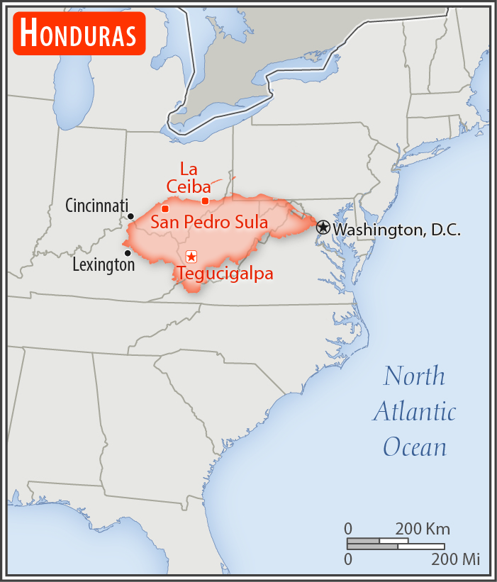
Central America and the Caribbean
Area:
total: 112,090 sq km
[see also: Area - total country ranks ]
land: 111,890 sq km
[see also: Area - land country ranks ]
water: 200 sq km
[see also: Area - water country ranks ]
country comparison to the world (CIA rank, may be based on non-current data):
104
Area - comparative:
slightly larger than Tennessee
Area comparison map:
slightly larger than Tennessee
Land boundaries:
total: 1,575 km
[see also: Land boundaries - total country ranks ]
border countries (3):
Guatemala 244 km, El Salvador 391 km, Nicaragua 940 km
Coastline:
823 km
(Caribbean Sea 669 km, Gulf of Fonseca 163 km)
[see also: Coastline country ranks ]
Maritime claims:
territorial sea: 12
nm
[see also: Maritime claims - territorial sea country ranks ]
exclusive economic zone: 200
nm
[see also: Maritime claims - exclusive economic zone country ranks ]
contiguous zone: 24
nm
[see also: Maritime claims - contiguous zone country ranks ]
continental shelf:
natural extension of territory or to 200 nm
[see also: Maritime claims - continental shelf country ranks ]
Climate:
subtropical in lowlands, temperate in mountains
More Climate Details
Terrain:
mostly mountains in interior, narrow coastal plains
Elevation:
mean elevation: 684 m
[see also: Elevation - mean elevation country ranks ]
lowest point:
Caribbean Sea 0 m
highest point:
Cerro Las Minas 2,870 m
Natural resources:
timber, gold, silver, copper, lead, zinc, iron ore, antimony, coal, fish, hydropower
Land use:
agricultural land: 28.8%
(2011 est.)
[see also: Land use - agricultural land country ranks ]
arable land: 9.1%
(2011 est.)
[see also: Land use - arable land country ranks ]
permanent crops: 4%
(2011 est.)
[see also: Land use - permanent crops country ranks ]
permanent pasture: 15.7%
(2011 est.)
[see also: Land use - permanent pasture country ranks ]
forest: 45.3%
(2011 est.)
[see also: Land use - forest country ranks ]
other: 25.9%
(2011 est.)
[see also: Land use country ranks ]
Irrigated land:
900 sq km
(2012)
[see also: Irrigated land country ranks ]
Population distribution:
most residents live in the mountainous western half of the country; unlike other Central American nations, Honduras is the only one with an urban population that is distributed between two large centers - the capital of Tegucigalpa and the city of San Pedro Sula; the Rio Ulua valley in the north is the only densely populated lowland area
Natural hazards:
frequent, but generally mild, earthquakes; extremely susceptible to damaging hurricanes and floods along the Caribbean coast
Environment - current issues:
urban population expanding; deforestation results from logging and the clearing of land for agricultural purposes; further land degradation and soil erosion hastened by uncontrolled development and improper land use practices such as farming of marginal lands; mining activities polluting Lago de Yojoa (the country's largest source of fresh water), as well as several rivers and streams, with heavy metals
Environment - international agreements:
party to:
Biodiversity, Climate Change, Climate Change-Kyoto Protocol, Desertification, Endangered Species, Hazardous Wastes, Law of the Sea, Marine Dumping, Ozone Layer Protection, Ship Pollution, Tropical Timber 83, Tropical Timber 94, Wetlands
signed, but not ratified:
none of the selected agreements
Geography - note:
has only a short Pacific coast but a long Caribbean shoreline, including the virtually uninhabited eastern Mosquito Coast
NOTE: 1) The information regarding Honduras on this page is re-published from the 2020 World Fact Book of the United States Central Intelligence Agency and other sources. No claims are made regarding the accuracy of Honduras Geography 2020 information contained here. All suggestions for corrections of any errors about Honduras Geography 2020 should be addressed to the CIA or the source cited on each page.
2) The rank that you see is the CIA reported rank, which may have the following issues:
a) They assign increasing rank number, alphabetically for countries with the same value of the ranked item, whereas we assign them the same rank.
b) The CIA sometimes assigns counterintuitive ranks. For example, it assigns unemployment rates in increasing order, whereas we rank them in decreasing order.
- Main Index
- 2020 Index
- Country Ranks
- Definitions
- Honduras Index 2020
- Honduras Main Index
- Introduction
- History
- Geography
- Climate
- Maps
- People
- Religion
- Government
- Gov. Leaders
- Flags
- Economy
- Energy
- Communications
- Transportation
- Airport Codes
- Military
- Transnational Issues
- Photos
- Advertise Here
- Feedback

This page was last modified 27-Jan-20