


Location:
Southeast Europe, between Serbia and Macedonia
Geographic coordinates:
42 35 N, 21 00 E
Map references:
Europe
Area:
total: 10,887 sq km
[see also: Area - total country ranks ]
land: 10,887 sq km
[see also: Area - land country ranks ]
water: 0 sq km
[see also: Area - water country ranks ]
country comparison to the world (CIA rank, may be based on non-current data):
168
Area - comparative:
slightly larger than Delaware
Area comparison map:
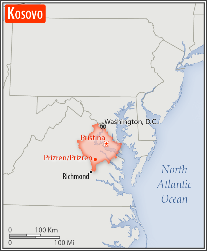
slightly larger than Delaware
Land boundaries:
total: 714 km
[see also: Land boundaries - total country ranks ]
border countries (4):
Albania 112 km, Macedonia 160 km, Montenegro 76 km, Serbia 366 km
Coastline:
0 km
(landlocked)
[see also: Coastline country ranks ]
Maritime claims:
none (landlocked)
Climate:
influenced by continental air masses resulting in relatively cold winters with heavy snowfall and hot, dry summers and autumns; Mediterranean and alpine influences create regional variation; maximum rainfall between October and December
Terrain:
flat fluvial basin at an elevation of 400-700 m above sea level surrounded by several high mountain ranges with elevations of 2,000 to 2,500 m
Elevation:
mean elevation: 450 m
[see also: Elevation - mean elevation country ranks ]
lowest point:
Drini i Bardhe/Beli Drim (located on the border with Albania) 297 m
highest point:
Gjeravica/Deravica 2,656 m
Natural resources:
nickel, lead, zinc, magnesium, lignite, kaolin, chrome, bauxite
Land use:
agricultural land: 52.8%
(2001 est.)
[see also: Land use - agricultural land country ranks ]
arable land: 27.4%
(2001 est.)
[see also: Land use - arable land country ranks ]
permanent crops: 1.9%
(2001 est.)
[see also: Land use - permanent crops country ranks ]
permanent pasture: 23.5%
(2001 est.)
[see also: Land use - permanent pasture country ranks ]
forest: 41.7%
(2001 est.)
[see also: Land use - forest country ranks ]
other: 5.5%
(2001 est.)
[see also: Land use country ranks ]
Irrigated land:
NA
[see also: Irrigated land country ranks ]
Population distribution:
population clusters exist throughout the country, the largest being in the east in and around the capital of Pristina
Environment - current issues:
air pollution (pollution from power plants and nearby lignite mines take a toll on people's health); water scarcity and pollution; land degradation
Geography - note:
the 41-km long Nerodimka River divides into two branches each of which flows into a different sea: the northern branch flows into the Sitnica River, which via the Ibar, Morava, and Danube Rivers ultimately flows into the Black Sea; the southern branch flows via the Lepenac and Vardar Rivers into the Aegean Sea
NOTE: 1) The information regarding Kosovo on this page is re-published from the 2020 World Fact Book of the United States Central Intelligence Agency and other sources. No claims are made regarding the accuracy of Kosovo Geography 2020 information contained here. All suggestions for corrections of any errors about Kosovo Geography 2020 should be addressed to the CIA or the source cited on each page.
2) The rank that you see is the CIA reported rank, which may have the following issues:
a) They assign increasing rank number, alphabetically for countries with the same value of the ranked item, whereas we assign them the same rank.
b) The CIA sometimes assigns counterintuitive ranks. For example, it assigns unemployment rates in increasing order, whereas we rank them in decreasing order.
- Main Index
- 2020 Index
- Country Ranks
- Definitions
- Kosovo Index 2020
- Kosovo Main Index
- Introduction
- Geography
- Maps
- People
- Religion
- Government
- Gov. Leaders
- Flags
- Economy
- Energy
- Communications
- Transportation
- Airport Codes
- Military
- Transnational Issues
- Photos
- Advertise Here
- Feedback

This page was last modified 27-Jan-20