


Location:
Middle East, bordering the Persian Gulf, between Iraq and Saudi Arabia
Geographic coordinates:
29 30 N, 45 45 E
Map references:
Middle East
Area:
total: 17,818 sq km
[see also: Area - total country ranks ]
land: 17,818 sq km
[see also: Area - land country ranks ]
water: 0 sq km
[see also: Area - water country ranks ]
country comparison to the world (CIA rank, may be based on non-current data):
158
Area - comparative:
slightly smaller than New Jersey
Area comparison map:
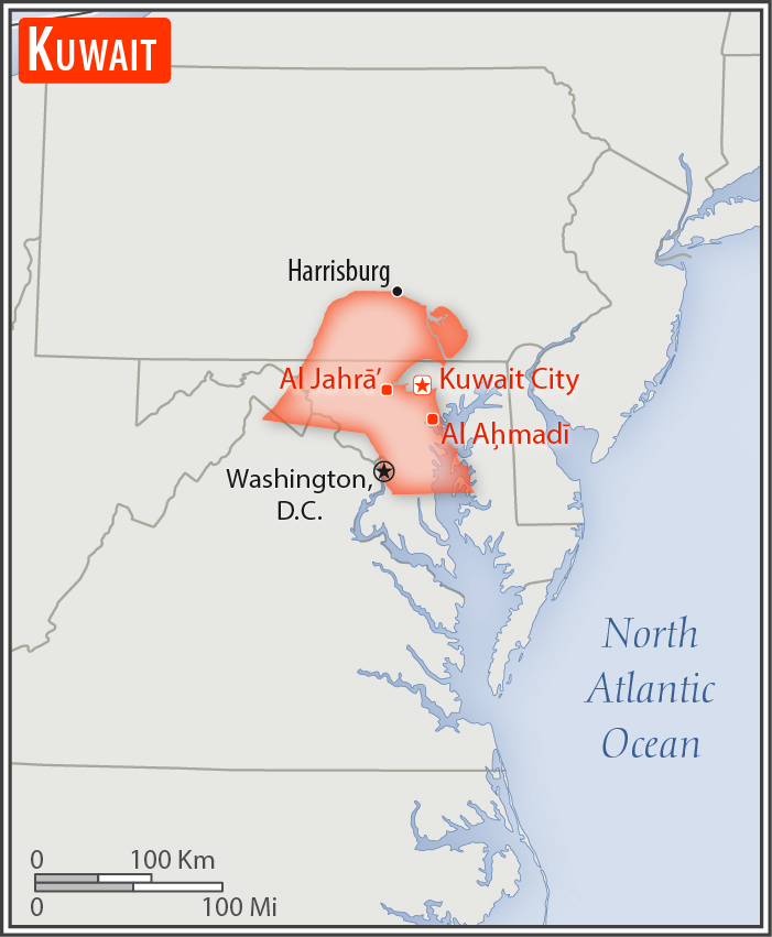
slightly smaller than New Jersey
Land boundaries:
total: 475 km
[see also: Land boundaries - total country ranks ]
border countries (2):
Iraq 254 km, Saudi Arabia 221 km
Coastline:
499 km
[see also: Coastline country ranks ]
Maritime claims:
territorial sea: 12
nm
[see also: Maritime claims - territorial sea country ranks ]
Climate:
dry desert; intensely hot summers; short, cool winters
More Climate Details
Terrain:
flat to slightly undulating desert plain
Elevation:
mean elevation: 108 m
[see also: Elevation - mean elevation country ranks ]
lowest point:
Persian Gulf 0 m
highest point:
3.6 km W. of Al-Salmi Border Post 300 m
Natural resources:
petroleum, fish, shrimp, natural gas
Land use:
agricultural land: 8.5%
(2011 est.)
[see also: Land use - agricultural land country ranks ]
arable land: 0.6%
(2011 est.)
[see also: Land use - arable land country ranks ]
permanent crops: 0.3%
(2011 est.)
[see also: Land use - permanent crops country ranks ]
permanent pasture: 7.6%
(2011 est.)
[see also: Land use - permanent pasture country ranks ]
forest: 0.4%
(2011 est.)
[see also: Land use - forest country ranks ]
other: 91.1%
(2011 est.)
[see also: Land use country ranks ]
Irrigated land:
105 sq km
(2012)
[see also: Irrigated land country ranks ]
Population distribution:
densest settlement is along the Persian Gulf, particularly in Kuwait City and on Bubiyan Island; significant population threads extend south and west along highways that radiate from the capital, particularly in the southern half of the country
Natural hazards:
sudden cloudbursts are common from October to April and bring heavy rain, which can damage roads and houses; sandstorms and dust storms occur throughout the year but are most common between March and August
Environment - current issues:
limited natural freshwater resources; some of world's largest and most sophisticated desalination facilities provide much of the water; air and water pollution; desertification; loss of biodiversity
Environment - international agreements:
party to:
Biodiversity, Climate Change, Climate Change-Kyoto Protocol, Desertification, Endangered Species, Environmental Modification, Hazardous Wastes, Law of the Sea, Ozone Layer Protection
signed, but not ratified:
Marine Dumping
Geography - note:
strategic location at head of Persian Gulf
NOTE: 1) The information regarding Kuwait on this page is re-published from the 2020 World Fact Book of the United States Central Intelligence Agency and other sources. No claims are made regarding the accuracy of Kuwait Geography 2020 information contained here. All suggestions for corrections of any errors about Kuwait Geography 2020 should be addressed to the CIA or the source cited on each page.
2) The rank that you see is the CIA reported rank, which may have the following issues:
a) They assign increasing rank number, alphabetically for countries with the same value of the ranked item, whereas we assign them the same rank.
b) The CIA sometimes assigns counterintuitive ranks. For example, it assigns unemployment rates in increasing order, whereas we rank them in decreasing order.
- Main Index
- 2020 Index
- Country Ranks
- Definitions
- Kuwait Index 2020
- Kuwait Main Index
- Introduction
- History
- Geography
- Climate
- Maps
- People
- Religion
- Government
- Gov. Leaders
- Flags
- Economy
- Energy
- Communications
- Transportation
- Airport Codes
- Military
- Transnational Issues
- Photos
- Advertise Here
- Feedback

This page was last modified 27-Jan-20