


Location:
East-Central Africa; south of Sudan, north of Uganda and Kenya, west of Ethiopia
Geographic coordinates:
8 00 N, 30 00 E
Map references:
Africa
Area:
total: 644,329 sq km
[see also: Area - total country ranks ]
land:
NA
[see also: Area - land country ranks ]
water:
NA
[see also: Area - water country ranks ]
country comparison to the world (CIA rank, may be based on non-current data):
43
Area - comparative:
more than four times the size of Georgia; slightly smaller than Texas
Area comparison map:
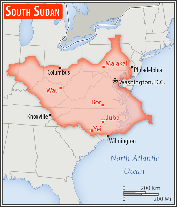
more than four times the size of Georgia; slightly smaller than Texas
Land boundaries:
total: 6,018 km
[see also: Land boundaries - total country ranks ]
border countries (6):
Central African Republic 1055 km, Democratic Republic of the Congo 714 km, Ethiopia 1299 km, Kenya 317 km, Sudan 2158 km, Uganda 475 km
note: South Sudan-Sudan boundary represents 1 January 1956 alignment; final alignment pending negotiations and demarcation; final sovereignty status of Abyei Area pending negotiations between South Sudan and Sudan
Coastline:
0 km
(landlocked)
[see also: Coastline country ranks ]
Maritime claims:
none (landlocked)
Climate:
hot with seasonal rainfall influenced by the annual shift of the Inter-Tropical Convergence Zone; rainfall heaviest in upland areas of the south and diminishes to the north
More Climate Details
Terrain:
plains in the north and center rise to southern highlands along the border with Uganda and Kenya; the White Nile, flowing north out of the uplands of Central Africa, is the major geographic feature of the country; The Sudd (a name derived from floating vegetation that hinders navigation) is a large swampy area of more than 100,000 sq km fed by the waters of the White Nile that dominates the center of the country
Elevation:
lowest point:
White Nile 381 m
highest point:
Kinyeti 3,187 m
Natural resources:
hydropower, fertile agricultural land, gold, diamonds, petroleum, hardwoods, limestone, iron ore, copper, chromium ore, zinc, tungsten, mica, silver
Land use:
agricultural land: 100%
[see also: Land use - agricultural land country ranks ]
arable land: 0%
[see also: Land use - arable land country ranks ]
permanent crops: 0%
[see also: Land use - permanent crops country ranks ]
permanent pasture: 100%
[see also: Land use - permanent pasture country ranks ]
forest: 0%
[see also: Land use - forest country ranks ]
other: 0%
[see also: Land use country ranks ]
Irrigated land:
1,000 sq km
(2012)
[see also: Irrigated land country ranks ]
Population distribution:
clusters found in urban areas, particularly in the western interior and around the White Nile
Environment - current issues:
water pollution; inadequate supplies of potable water; wildlife conservation and loss of biodiversity; deforestation; soil erosion; desertification; periodic drought
Geography - note:
landlocked; The Sudd is a vast swamp in the north central region of South Sudan, formed by the White Nile, its size is variable but can reach some 15% of the country's total area during the rainy season; it is one of the world's largest wetlands
NOTE: 1) The information regarding South Sudan on this page is re-published from the 2020 World Fact Book of the United States Central Intelligence Agency and other sources. No claims are made regarding the accuracy of South Sudan Geography 2020 information contained here. All suggestions for corrections of any errors about South Sudan Geography 2020 should be addressed to the CIA or the source cited on each page.
2) The rank that you see is the CIA reported rank, which may have the following issues:
a) They assign increasing rank number, alphabetically for countries with the same value of the ranked item, whereas we assign them the same rank.
b) The CIA sometimes assigns counterintuitive ranks. For example, it assigns unemployment rates in increasing order, whereas we rank them in decreasing order.
- Main Index
- 2020 Index
- Country Ranks
- Definitions
- South Sudan Index 2020
- South Sudan Main Index
- Introduction
- Geography
- Climate
- Maps
- People
- Religion
- Government
- Gov. Leaders
- Flags
- Economy
- Energy
- Communications
- Transportation
- Airport Codes
- Military
- Transnational Issues
- Photos
- Advertise Here
- Feedback

This page was last modified 27-Jan-20