


Location:
Western South America, bordering the Pacific Ocean at the Equator, between Colombia and Peru
Geographic coordinates:
2 00 S, 77 30 W
Map references:
South America
Area:
total: 283,561 sq km
[see also: Area - total country ranks ]
land: 276,841 sq km
[see also: Area - land country ranks ]
water: 6,720 sq km
note: includes Galapagos Islands
country comparison to the world (CIA rank, may be based on non-current data):
75
Area - comparative:
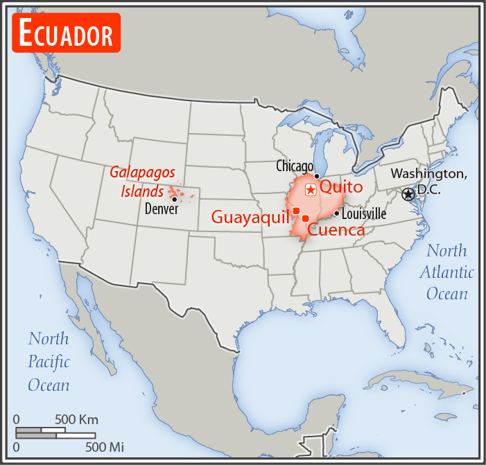
slightly smaller than Nevada
Area comparison map:
slightly smaller than Nevada
Land boundaries:
total: 2,237 km
[see also: Land boundaries - total country ranks ]
border countries (2):
Colombia 708 km, Peru 1529 km
Coastline:
2,237 km
[see also: Coastline country ranks ]
Maritime claims:
territorial sea: 200
nm
[see also: Maritime claims - territorial sea country ranks ]
exclusive economic zone: 200
nm
[see also: Maritime claims - exclusive economic zone country ranks ]
continental shelf: 200
nm
note: Ecuador has declared its right to extend its continental shelf to 350nm measured from the baselines of the Galapagos Archipelago
Climate:
tropical along coast, becoming cooler inland at higher elevations; tropical in Amazonian jungle lowlands
More Climate Details
Terrain:
coastal plain (costa), inter-Andean central highlands (sierra), and flat to rolling eastern jungle (oriente)
Elevation:
mean elevation: 1,117 m
[see also: Elevation - mean elevation country ranks ]
lowest point:
Pacific Ocean 0 m
highest point:
Chimborazo 6,267
note: because the earth is not a perfect sphere and has an equatorial bulge, the highest point on the planet farthest from its center is Mount Chimborazo not Mount Everest, which is merely the highest peak above sea level
Natural resources:
petroleum, fish, timber, hydropower
Land use:
agricultural land: 29.7%
(2011 est.)
[see also: Land use - agricultural land country ranks ]
arable land: 4.7%
(2011 est.)
[see also: Land use - arable land country ranks ]
permanent crops: 5.6%
(2011 est.)
[see also: Land use - permanent crops country ranks ]
permanent pasture: 19.4%
(2011 est.)
[see also: Land use - permanent pasture country ranks ]
forest: 38.9%
(2011 est.)
[see also: Land use - forest country ranks ]
other: 31.4%
(2011 est.)
[see also: Land use country ranks ]
Irrigated land:
15,000 sq km
(2012)
[see also: Irrigated land country ranks ]
Population distribution:
nearly half of the population is concentrated in the interior in the Andean intermontane basins and valleys, with large concentrations also found along the western coastal strip; the rainforests of the east remain sparsely populated
Natural hazards:
frequent earthquakes; landslides; volcanic activity; floods; periodic droughts
volcanism: volcanic activity concentrated along the Andes Mountains; Sangay (5,230 m), which erupted in 2010, is mainland Ecuador's most active volcano; other historically active volcanoes in the Andes include Antisana, Cayambe, Chacana, Cotopaxi, Guagua Pichincha, Reventador, Sumaco, and Tungurahua; Fernandina (1,476 m), a shield volcano that last erupted in 2009, is the most active of the many Galapagos volcanoes; other historically active Galapagos volcanoes include Wolf, Sierra Negra, Cerro Azul, Pinta, Marchena, and Santiago
Environment - current issues:
deforestation; soil erosion; desertification; water pollution; pollution from oil production wastes in ecologically sensitive areas of the Amazon Basin and Galapagos Islands
Environment - international agreements:
party to:
Antarctic-Environmental Protocol, Antarctic Treaty, Biodiversity, Climate Change, Climate Change-Kyoto Protocol, Desertification, Endangered Species, Hazardous Wastes, Ozone Layer Protection, Ship Pollution, Tropical Timber 83, Tropical Timber 94, Wetlands
signed, but not ratified:
none of the selected agreements
Geography - note:
Cotopaxi in Andes is highest active volcano in world
NOTE: 1) The information regarding Ecuador on this page is re-published from the 2020 World Fact Book of the United States Central Intelligence Agency and other sources. No claims are made regarding the accuracy of Ecuador Geography 2020 information contained here. All suggestions for corrections of any errors about Ecuador Geography 2020 should be addressed to the CIA or the source cited on each page.
2) The rank that you see is the CIA reported rank, which may have the following issues:
a) They assign increasing rank number, alphabetically for countries with the same value of the ranked item, whereas we assign them the same rank.
b) The CIA sometimes assigns counterintuitive ranks. For example, it assigns unemployment rates in increasing order, whereas we rank them in decreasing order.
- Main Index
- 2020 Index
- Country Ranks
- Definitions
- Ecuador Index 2020
- Ecuador Main Index
- Introduction
- History
- Geography
- Climate
- Maps
- People
- Religion
- Government
- Gov. Leaders
- Flags
- Economy
- Energy
- Communications
- Transportation
- Airport Codes
- Military
- Transnational Issues
- Photos
- Advertise Here
- Feedback

This page was last modified 27-Jan-20