


Location:
Southeastern Europe, north of Greece
Geographic coordinates:
41 50 N, 22 00 E
Map references:
Europe
Area:
total: 25,713 sq km
[see also: Area - total country ranks ]
land: 25,433 sq km
[see also: Area - land country ranks ]
water: 280 sq km
[see also: Area - water country ranks ]
country comparison to the world (CIA rank, may be based on non-current data):
150
Area - comparative:
slightly larger than Vermont; almost four times the size of Delaware
Area comparison map:
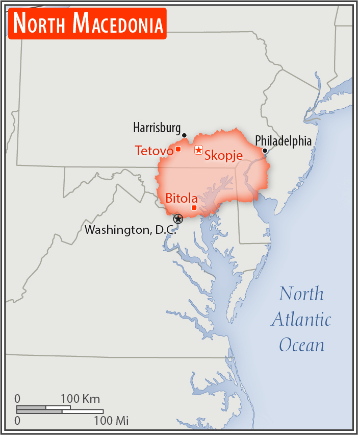
slightly larger than Vermont; almost four times the size of Delaware
Land boundaries:
total: 838 km
[see also: Land boundaries - total country ranks ]
border countries (5):
Albania 181 km, Bulgaria 162 km, Greece 234 km, Kosovo 160 km, Serbia 101 km
Coastline:
0 km
(landlocked)
[see also: Coastline country ranks ]
Maritime claims:
none (landlocked)
Climate:
warm, dry summers and autumns; relatively cold winters with heavy snowfall
More Climate Details
Terrain:
mountainous with deep basins and valleys; three large lakes, each divided by a frontier line; country bisected by the Vardar River
Elevation:
mean elevation: 741 m
[see also: Elevation - mean elevation country ranks ]
lowest point:
Vardar River 50 m
highest point:
Golem Korab (Maja e Korabit) 2,764 m
Natural resources:
low-grade iron ore, copper, lead, zinc, chromite, manganese, nickel, tungsten, gold, silver, asbestos, gypsum, timber, arable land
Land use:
agricultural land: 44.3%
(2011 est.)
[see also: Land use - agricultural land country ranks ]
arable land: 16.4%
(2011 est.)
[see also: Land use - arable land country ranks ]
permanent crops: 1.4%
(2011 est.)
[see also: Land use - permanent crops country ranks ]
permanent pasture: 26.5%
(2011 est.)
[see also: Land use - permanent pasture country ranks ]
forest: 39.8%
(2011 est.)
[see also: Land use - forest country ranks ]
other: 15.9%
(2011 est.)
[see also: Land use country ranks ]
Irrigated land:
1,280 sq km
(2012)
[see also: Irrigated land country ranks ]
Population distribution:
a fairly even distribution throughout most of the country, with urban areas attracting larger and denser populations
Natural hazards:
high seismic risks
Environment - current issues:
air pollution from metallurgical plants; Skopje has severe air pollution problems every winter as a result of industrial emissions, smoke from wood-buring stoves, and exhaust fumes from old cars
Environment - international agreements:
party to:
Air Pollution, Biodiversity, Climate Change, Climate Change-Kyoto Protocol, Desertification, Endangered Species, Hazardous Wastes, Law of the Sea, Ozone Layer Protection, Wetlands
signed, but not ratified:
none of the selected agreements
Geography - note:
landlocked; major transportation corridor from Western and Central Europe to Aegean Sea and Southern Europe to Western Europe
NOTE: 1) The information regarding North Macedonia on this page is re-published from the 2020 World Fact Book of the United States Central Intelligence Agency and other sources. No claims are made regarding the accuracy of North Macedonia Geography 2020 information contained here. All suggestions for corrections of any errors about North Macedonia Geography 2020 should be addressed to the CIA or the source cited on each page.
2) The rank that you see is the CIA reported rank, which may have the following issues:
a) They assign increasing rank number, alphabetically for countries with the same value of the ranked item, whereas we assign them the same rank.
b) The CIA sometimes assigns counterintuitive ranks. For example, it assigns unemployment rates in increasing order, whereas we rank them in decreasing order.
- Main Index
- 2020 Index
- Country Ranks
- Definitions
- North Macedonia Index 2020
- North Macedonia Main Index
- Introduction
- History
- Geography
- Climate
- Maps
- People
- Religion
- Government
- Gov. Leaders
- Flags
- Economy
- Energy
- Communications
- Transportation
- Airport Codes
- Military
- Transnational Issues
- Photos
- Advertise Here
- Feedback

This page was last modified 27-Jan-20